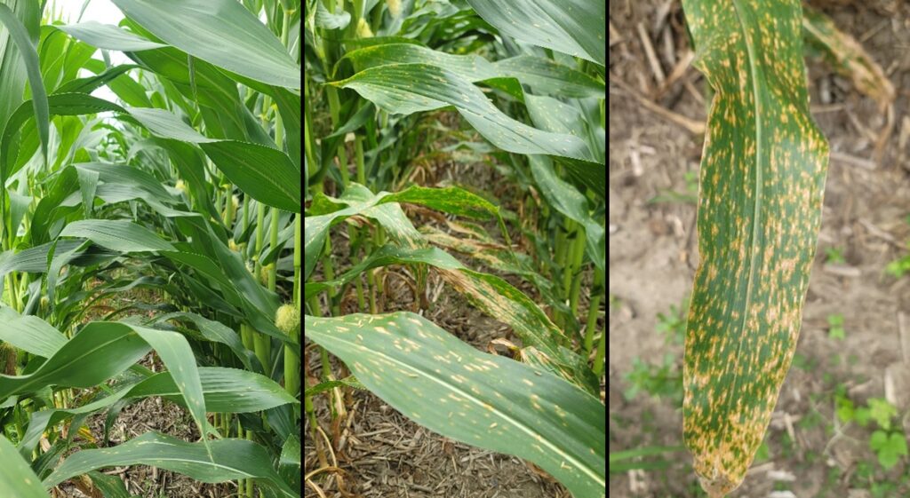
Calls and observations from both north-central and eastern Indiana indicate populations of aphids that are so high they are covering the upper leaves of plants.
It is the policy of the Purdue University that all persons have equal opportunity and access to its educational programs, services, activities, and facilities without regard to race, religion, color, sex, age, national origin or ancestry, marital status, parental status, sexual orientation, disability or status as a veteran. Purdue is an Affirmative Action Institution. This material may be available in alternative formats. 1-888-EXT-INFO Disclaimer: Reference to products in this publication is not intended to be an endorsement to the exclusion of others which may have similar uses. Any person using products listed in this publication assumes full responsibility for their use in accordance with current directions of the manufacturer.
© 2026 Purdue University | An equal access/equal opportunity university | Copyright Complaints | Maintained by Pest&Crop newsletter
If you have trouble accessing this page because of a disability, please contact Pest&Crop newsletter at luck@purdue.edu.