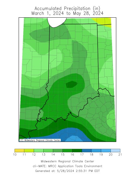
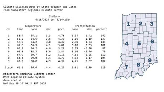
As of writing, it appears we’re heading into the start of meteorological summer (June 1) with a wet meteorological spring on the books.

As of writing, it appears we’re heading into the start of meteorological summer (June 1) with a wet meteorological spring on the books.
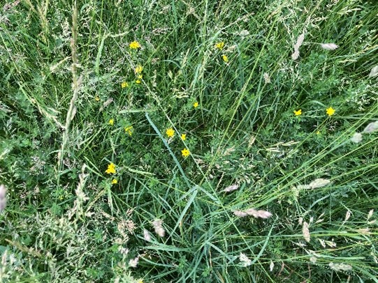
Managing pasture properly requires much skill, just like any agronomic crop. Much skill is required to do it in an “A” grade fashion because there is a livestock component to the agricultural system, too.
In this video, three different areas of a soybean field that have been subjected to extended periods of saturated soils to flooding are assessed for damage.
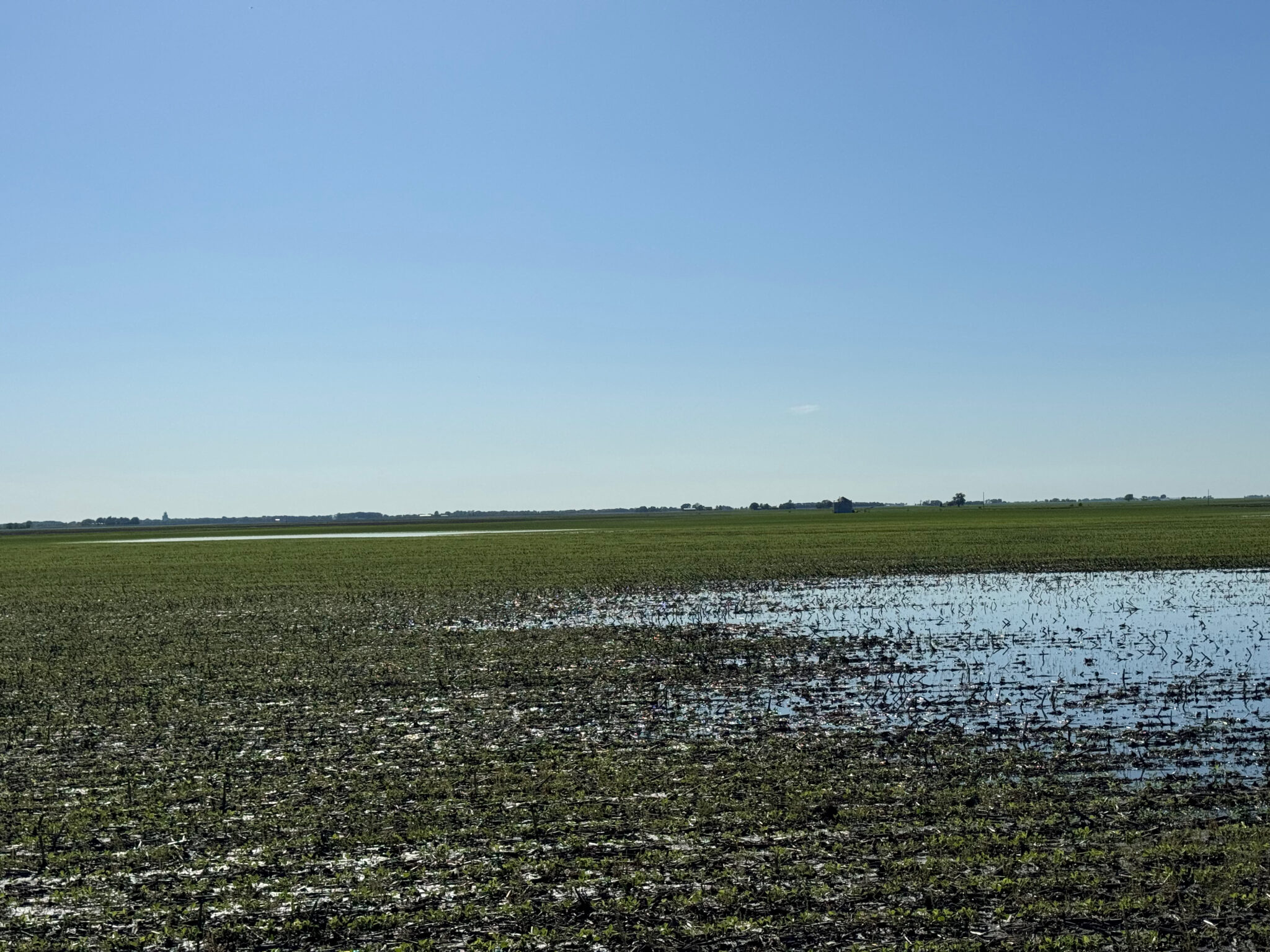
Rains have left many fields with standing water and the threat of more rain on the way. In a manner of a few miles, one field received one inch of rain and another field has received 3 inches of rain or more.
Conventional agronomic wisdom says that the prime planting “window” to maximize corn yields in much of Indiana opens about April 20 and closes about May 10. This “window” typically opens about one week later across the northern tier of Indiana counties (later warmup) and about one week earlier across the southern tier of Indiana counties (earlier warmup).
Allergy season is in full swing. At least, it is for me. Runny nose, itchy eyes, and consistent drainage that I have to clear in the shower every morning.
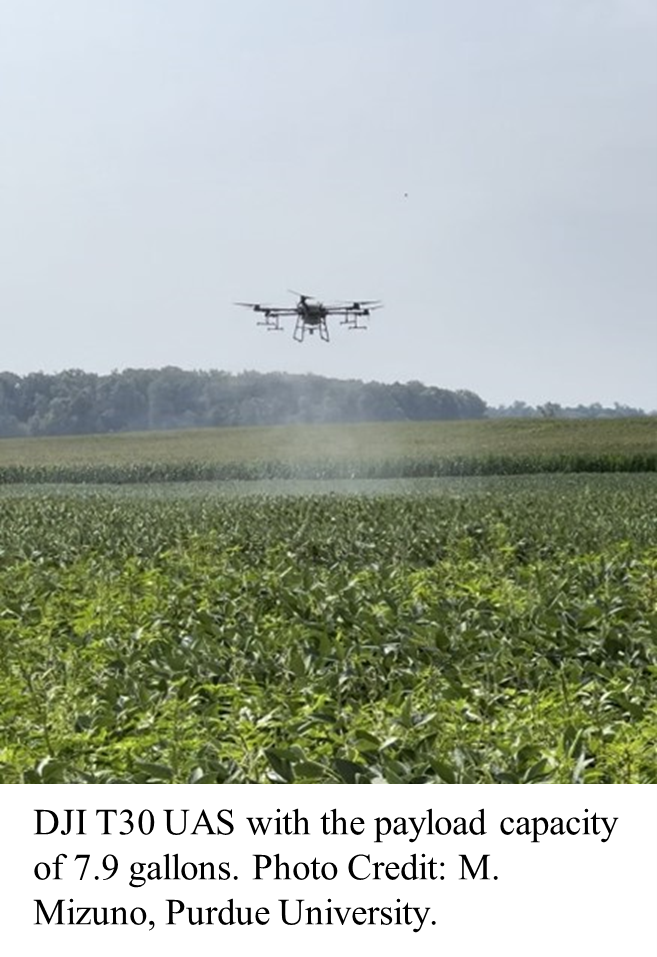
Aerial drone application technology has recently become available and may address limitations by providing greater agility to monitor and apply under conditions where obstacles and poor field conditions limit current pesticide application equipment.
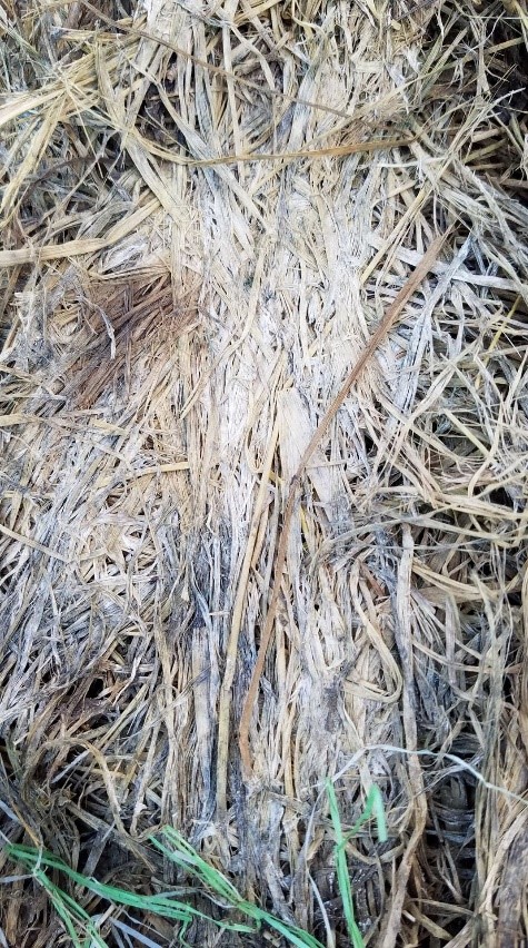
It is that time of year when much cool-season grass and legume hay is being made in Indiana.
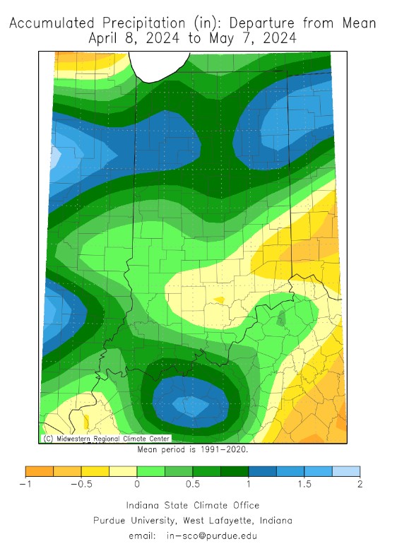
Abundant rainfall has eliminated any drought across the Hoosier State, and we have April showers to thank for that. Fort Wayne had its wettest April on record with a whopping 7.39 inches of precipitation, over 3 inches above the normal 3.74 inches for April. In Indianapolis, it was the 8th wettest April on record with 7.77 inches, and in Frankfort, it was the 2nd wettest with 7.99 inches. 30-day precipitation departures reveal above normal precipitation for just about the entire state (Figure 1). 90-day precipitation departures tell a different story, with parts of southern Indiana up to 3 inches below normal (Figure 2). Even more significant are the 1-year departures, with most of the state anywhere from 4 to 12 inches below normal (Figure 3). Indiana will continue to need consistent precipitation to maintain the short-term recovery seen so far this Spring. The National Weather Service’s Climate Prediction Center (CPC)[Read More…]
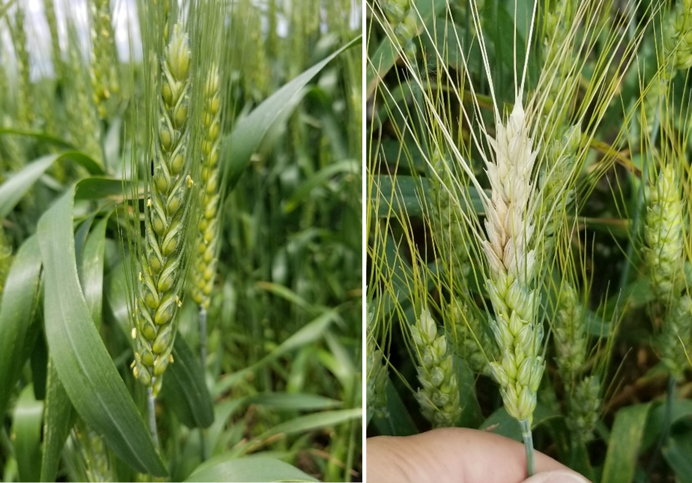
Wheat is starting to head out across the central and northern Indiana, with flowering not too far behind. Our plots in southern Indiana hit early anthesis (flowering) last week and we put out our Feekes 10.5.1 fungicide trials out at Southwest PAC, Vincennes, IN.
© 2026 Purdue University | An equal access/equal opportunity university | Copyright Complaints | Maintained by Pest&Crop newsletter
If you have trouble accessing this page because of a disability, please contact Pest&Crop newsletter at luck@purdue.edu.