He shares weed management tips and what growers are facing right now.
He shares weed management tips and what growers are facing right now.
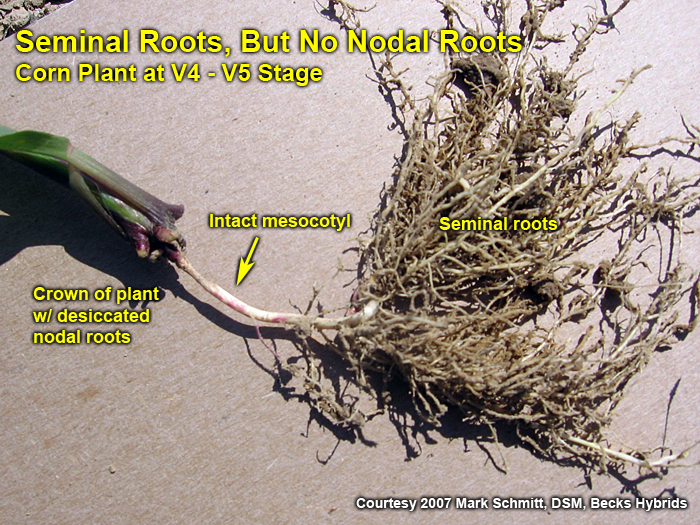
Excessive drying of the upper soil profile is conducive for the development of what some of us affectionately call the “rootless corn” or “floppy corn” syndrome.
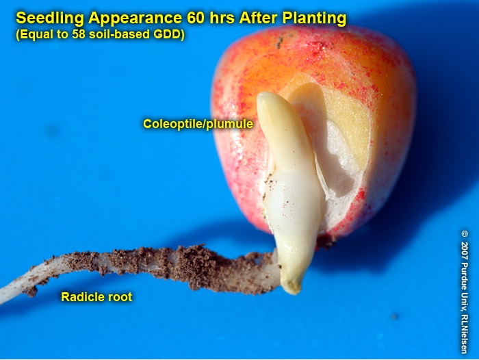
Successful emergence (fast & uniform), while important, does not guarantee successful stand establishment in corn.
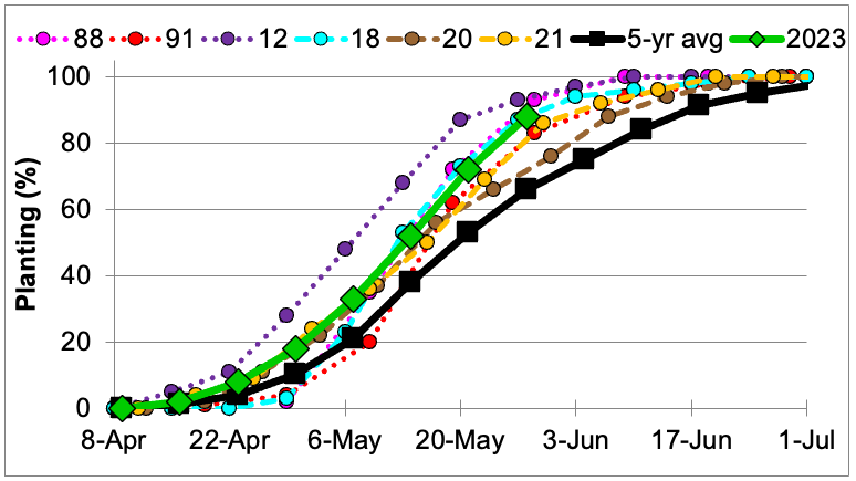
Indiana soybean planting in 2023 is following the same track as 1988 and 2018, which could be devastating or bin busting! As you may or may not recall, 1988 was one of the worst droughts we have experienced. Indiana soybeans yielded 27.5 bu/ac, which was 11.5 bu less (30% reduction) than the trend yield (39 bu/ac). The only year with a faster pace was another drought year—2012. Late season rains saved the 2012 crop and Indiana yielded 44.0 bu/ac (5.8 bu below yield trend, ~12% reduction). Soybeans were planted at a fast pace in 1991 due to dry and drought conditions, but the yields were nearly unaffected (3% less than trend). Indiana has had six years that soybean planting progress was substantially faster than the five-year average (Figure 1). Three of those years were drought years (1988, 1991, 2012) while the other years (2018, 2020, 2021) were yield-breaking[Read More…]
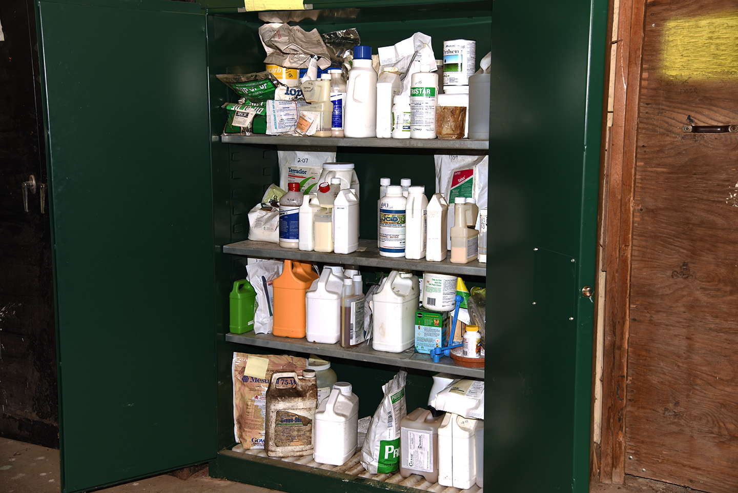
An OISC Clean Sweep Pesticide Disposal Program designed to collect and dispose of suspended, canceled, banned, unusable, opened, unopened or just unwanted pesticides (herbicides, insecticides, rodenticides, fungicides, miticides, etc.) is being sponsored by the Office of Indiana State Chemist (OISC). This disposal service is free of charge up to 250 pounds per participant. Over 250 pounds there will be a $2.00 per pound charge. This is a great opportunity for you to legally dispose of unwanted products at little or no cost. All public and private schools, golf courses, nurseries, farmers, ag dealers, public, cities, towns, municipalities and county units of government or others receiving this notice are eligible to participate. WHEN: 9:00 am to 3:00 pm Local Time WHERE: August 15, 2023: Wayne County Fairgrounds August 16, 2023: Jackson County Fairgrounds August 17, 2023: Elkhart County Solid Waste August 22, 2023: Posey County Co-Op (Gibson County) August 23,[Read More…]
Armyworm Pheromone Trap Report – 2023
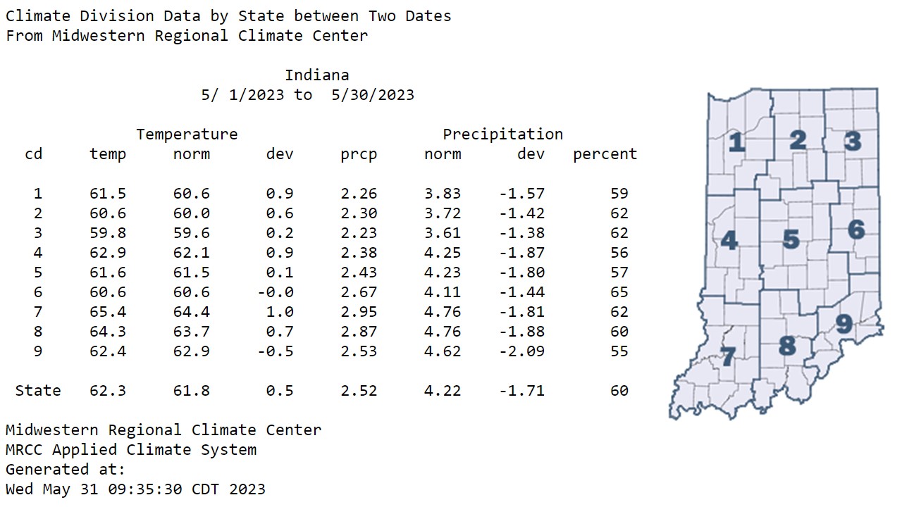
Temperatures warmed into the 80s by the end of Memorial Day weekend, but low dew point temperatures made the heat bearable.
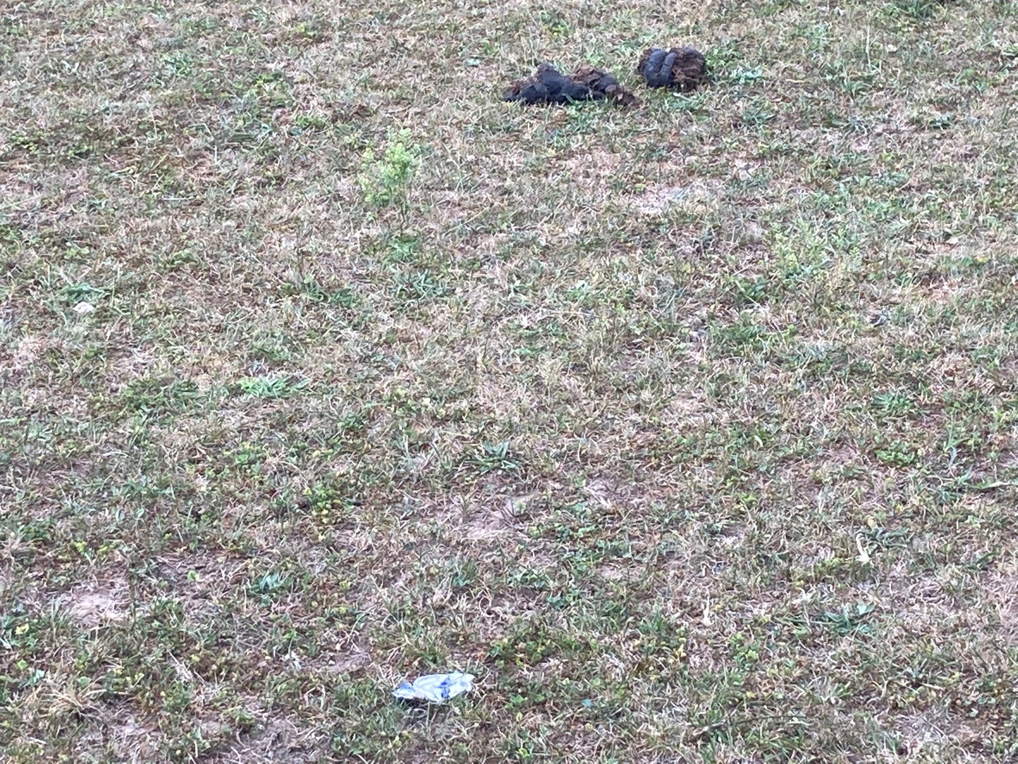
This past week warm late-spring temperature and lack of moisture was apparent in Indiana.
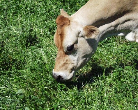
Want to learn how to improve grazing utilization? Attending a day and a half grazing school will be a great start to improving pasture utilization by your livestock.
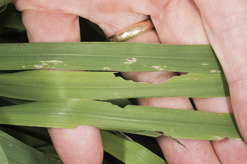
Armyworm moth captures have varied throughout the state for the last eight weeks (see “Armyworm Pheromone Trap Report”).
© 2024 Purdue University | An equal access/equal opportunity university | Copyright Complaints | Maintained by Pest&Crop newsletter
If you have trouble accessing this page because of a disability, please contact Pest&Crop newsletter at luck@purdue.edu.