

Our first significant heat wave hit Indiana this week with the added benefit of high humidity.
Our first significant heat wave hit Indiana this week with the added benefit of high humidity.
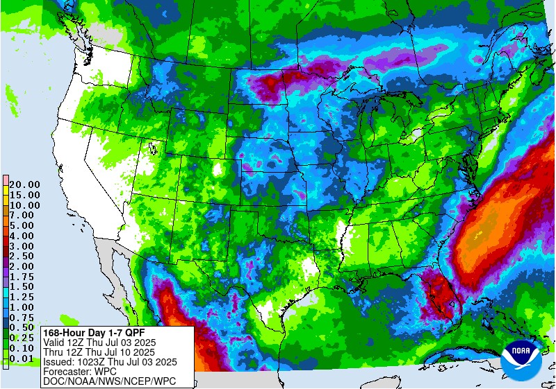
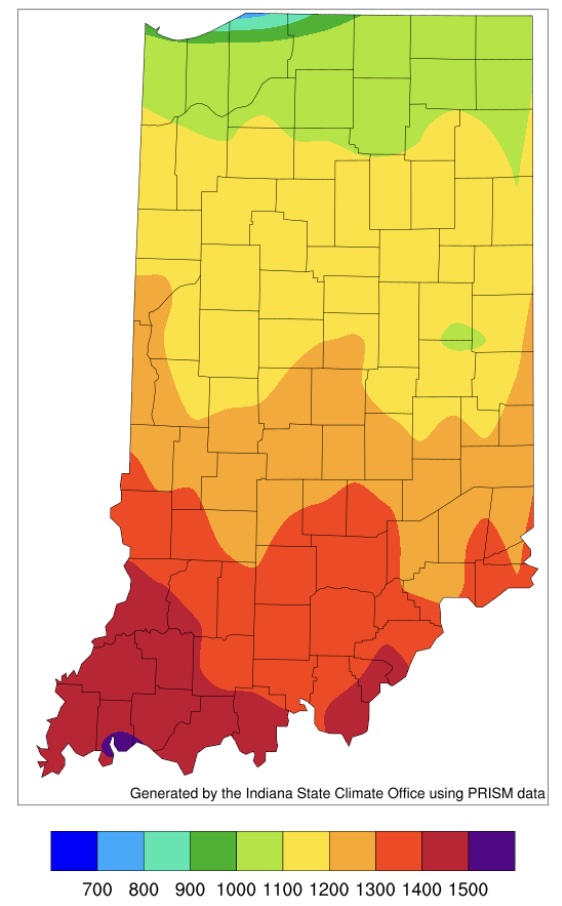
One heat wave down, more to come. It is summer, though, so aside from expecting plenty of hot days, the things to be more concerned about is reference (or potential) evapotranspiration (ET) significantly exceeding precipitation that would ultimately cause drought-related impacts. The National Weather Service provides a 7-day forecasted reference ET product as well as a 7-day forecast for total precipitation amounts. From these resources, it looks like across Indiana, approximately 1.5” of water is expected to be lost over the next 7 days and anywhere from 0.10” to up to 1.5” of precipitation will be received (Figure 1). This implies a water deficit for most areas – which is not unusual throughout Indiana summers. The concern comes when that deficit becomes much greater than normal. Concerning drought, the U.S. Drought Monitor continues to place northwestern Indiana in the Abnormally Dry (D0) category with two isolated areas within that zone[Read More…]
The climate outlooks are showing strong confidence that these hot temperatures will continue for a while.
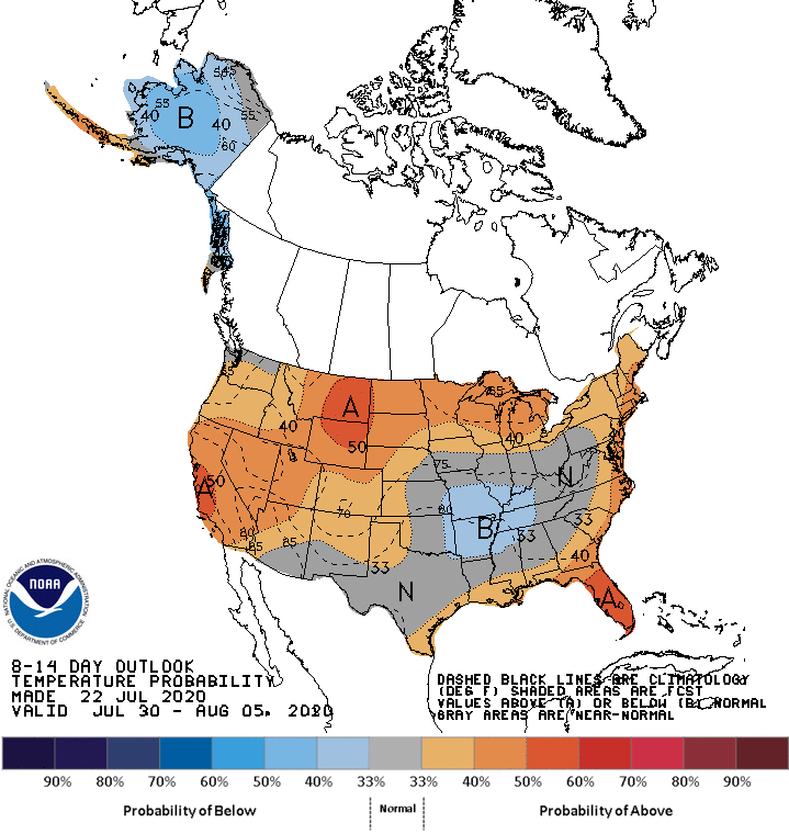
For the first time in what seems like months, the 8-to-14-day climate outlook is not showing significant confidence for above-normal temperatures in Indiana (Figure 1).
© 2026 Purdue University | An equal access/equal opportunity university | Copyright Complaints | Maintained by Pest&Crop newsletter
If you have trouble accessing this page because of a disability, please contact Pest&Crop newsletter at luck@purdue.edu.
