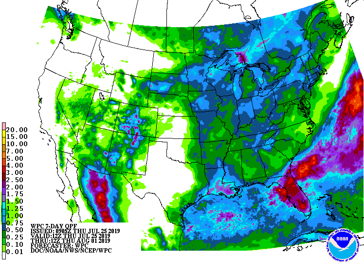
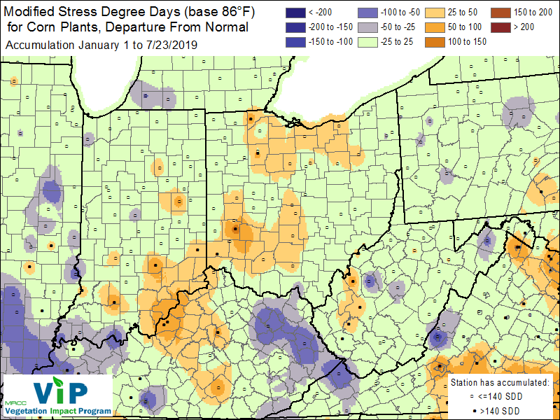
The brutal heat wave has passed, but there are still plenty of warm days ahead. Climate outlooks (over the next few weeks) are suggesting confidence of above-normal precipitation across Indiana. The 7-day forecast is indicating up to 1” of rain over the next week for most of the state (Figure 1). The air is likely to remain muggy, with transpiration from crops and warm temperatures welcoming the moisture. Last week, the modified stress degree-day (mSDD) tool was mentioned, with the map suggesting heat stress was near normal. However, after that heat wave, there are areas in southeast Indiana that showing above-normal mSDDs (Figure 2). This may cause increased stress to crops and livestock (not to mention humans and pets!).
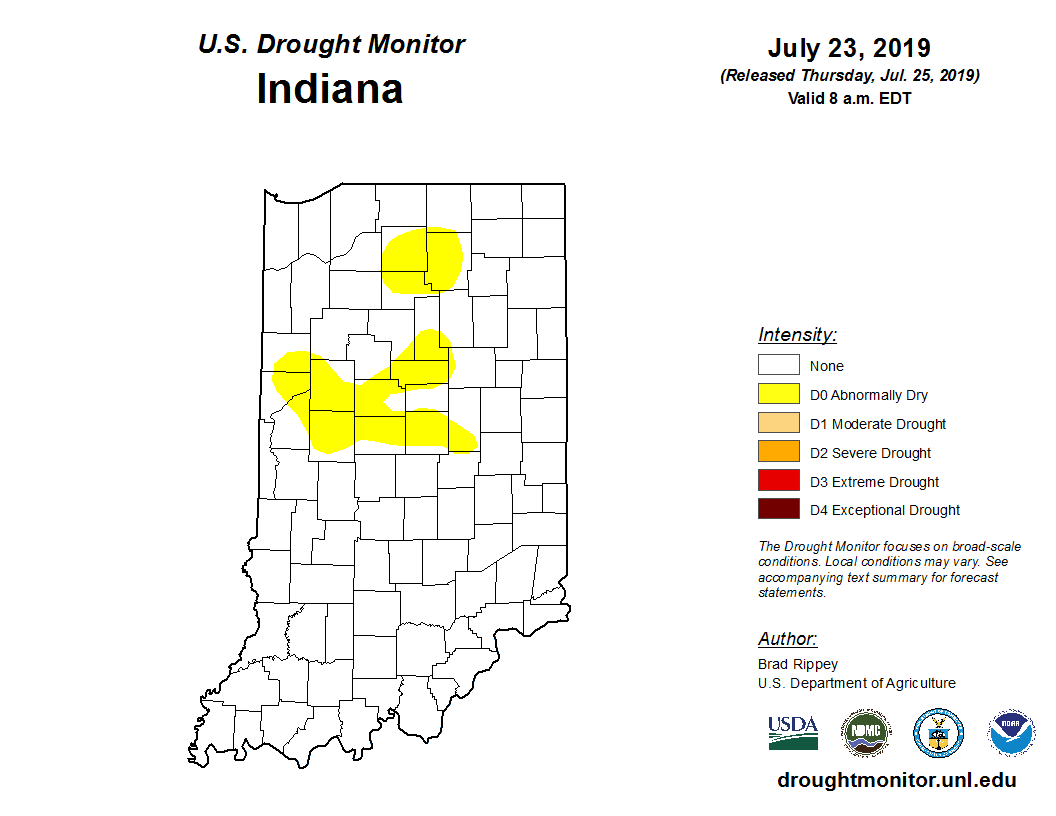
Drought has started to rear its ugly head in central and northern Indiana. The latest US Drought Monitor has introduced D0 (Abnormally Dry) conditions to several areas due to the lack of moisture and increased temperatures (Figure 3). This will likely start to impact shallow root zones.
The August climate outlooks for both temperature and precipitation are indicating equal chances for either above- or below-normal conditions.

Figure 1. Quantitative Forecasted Precipitation (QPF) map showing estimated amount or precipitation for July 25 – Aug 1, 2019.


