

As March wraps up, both temperature and precipitation appear to be near normal for the month. This is hard to imagine given the variability experienced throughout the month! The days either felt colder or warmer than normal, but rarely normal. There were some precipitation events that caused flooding – particularly in southern Indiana, but overall the dry days seemed to offset the wet days. There have been very few growing degree-days accumulated across the state in March, so using April 1 as a start date for accumulating GDDs (base 50°F) should be reasonable. Accumulated chilling hours (for temperatures between 35°F and 45°F) are slightly above normal across most of the state (see Figure 1; https://etweather.tamu.edu/chill/), which will hopefully be a good sign for perennial fruit yields and quality in 2019. The region is still drought free and is anticipated to remain so due to more precipitation in the 1-2 week forecasts. Temperatures are expected to stay cooler than normal for the next 6-10 days with some confidence of above normal precipitation over the next 8-14 days. The risk for spring freezes still exists across the state. Figure 2 shows the 75th percentile date of the last 32°F freeze across the state, indicating 75% of the years from 1981-2010 had a 32°F freeze event on or before the date indicated (i.e., 25% of the years had a 32°F freeze event after the date shown).
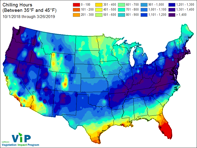
Chilling hours (between 35 and 45 F) 10/1/2018 through 3/26/2019
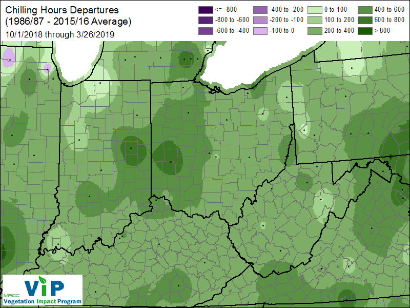
Chilling Hours Departures (1986/87 – 2015/16 Average) 10/1/2018 through 3/26/2019
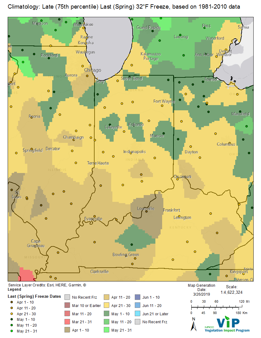
Climatology: Late (75th percentile) Last (Spring) 32 F Freeze, based on 1981-2010 data
