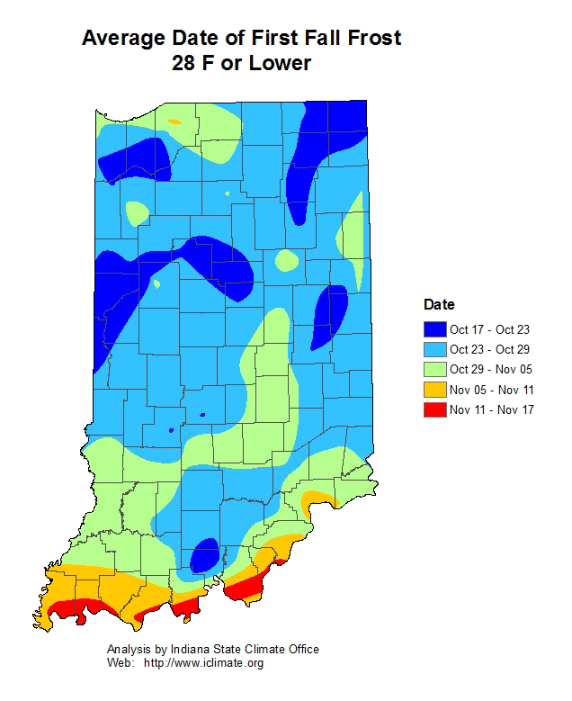
Fall is finally here and temperatures are starting to decline. It has been a typical fall, though with above normal temperatures one day with noticeably cooler temperatures the next. The big concern continues to be when that first hard freeze is going to occur. Within the next few weeks, Indiana will be entering the climatological average date of the first hard freeze (Figure 1). Will 2019 be average? While the Climate Prediction Center is predicting slight probabilities of below-normal temperatures from October 15-19, it is doubtful that overnight lows will get down to 28°F. Climate outlooks beyond the 19th are predicting above-normal temperatures. However, keep an eye out for cold weather systems that may pass through your area, for they could bring brief periods of freezing temperatures before returning to what is more climatologically expected.
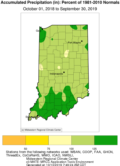
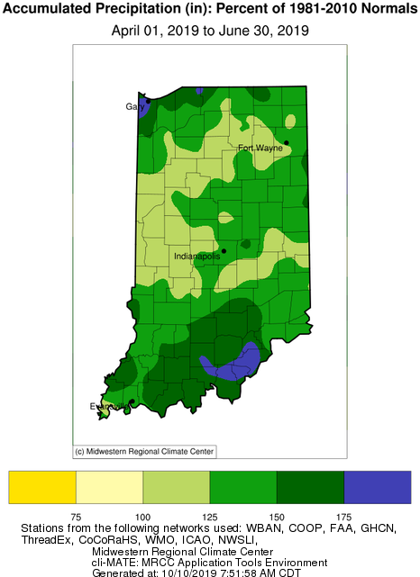
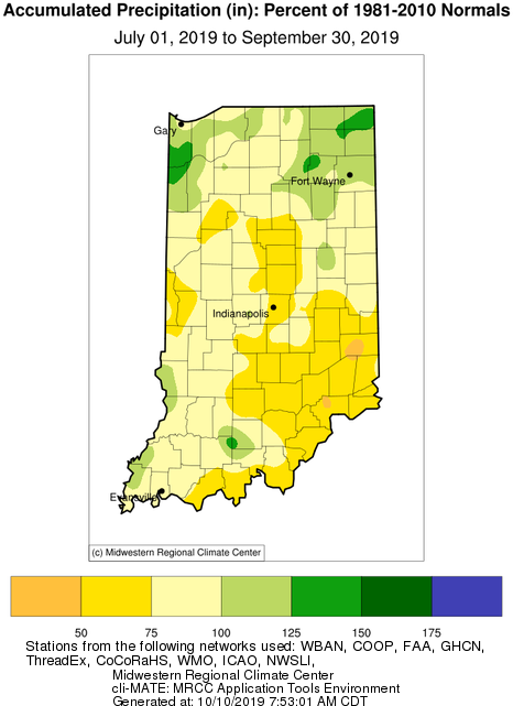
For precipitation, the annual Water Year (October 2018 through September 2019) wrapped up with Indiana experiencing slightly above-normal conditions over the 12-month period (Figure 2). However, this is where averaging data over such a long time can mask the extremes that were experienced. Recall the wet spring conditions across the state compared to the late summer conditions (Figures 3a-b). The climate outlooks are noting that Earth’s oceanic-atmospheric system is transitioning to an El Niño – Southern Oscillation (ENSO) “neutral” phase. Historically, there have not been strong impacts between Midwest climate and any ENSO phase, but for broad-stroke climatology, a Neutral phase has been associated with colder winters. Over the past several decades, winter temperatures have been increasing. What does this have to do regarding precipitation? Warming winters could likely mean more winter precipitation will fall as rain rather than snow – which could lead to more runoff rather than the preferable deep soil moisture penetration. However, if a neutral ENSO pattern suggests a cooler-than-normal winter, perhaps Indiana will experience more snow.


