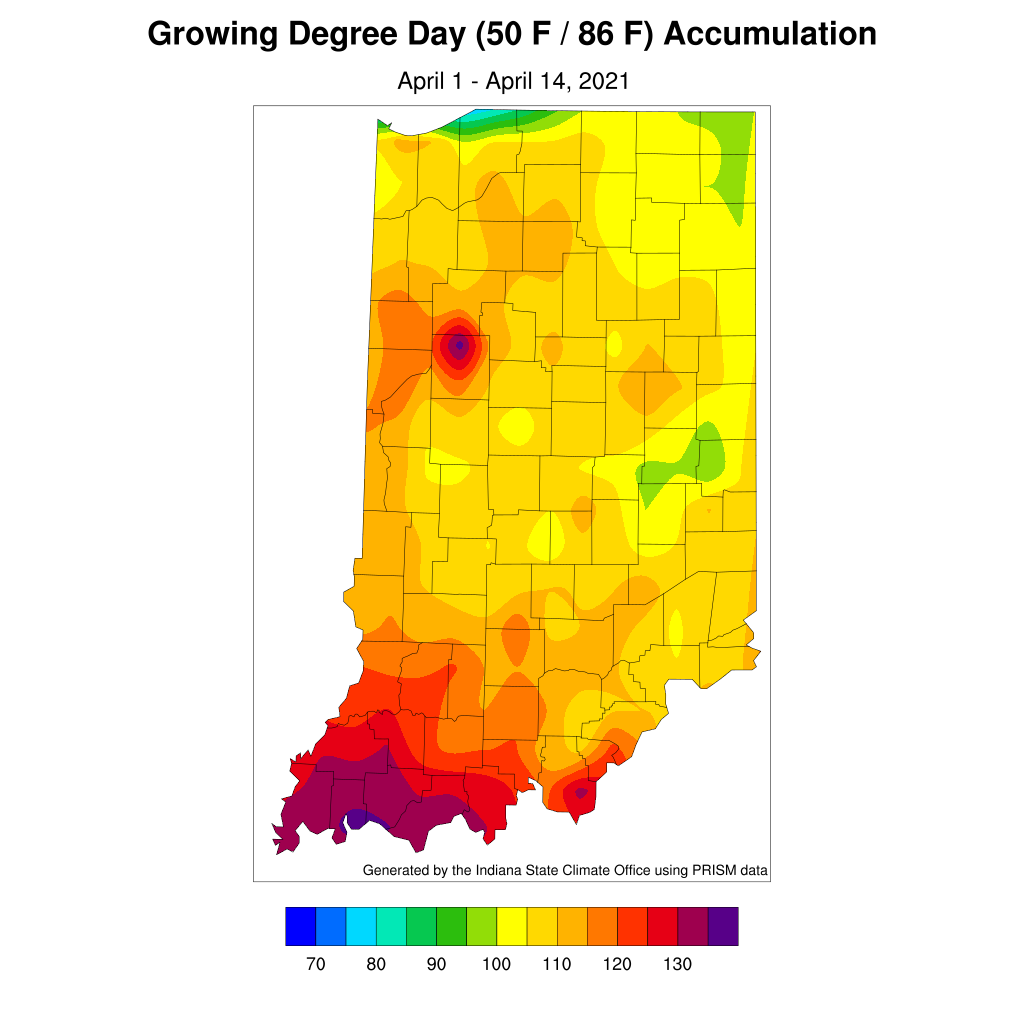
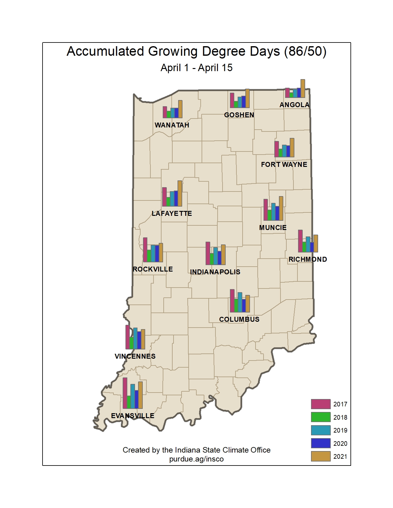
Just when we thought we were done wearing sweaters and using our furnaces, Mother Nature decided to throw us a curve ball. Growing degree days were accumulating nicely last week, but we have started to see that rate of accumulation decrease greatly this week and with continued sluggish accumulations over the next few weeks (See included maps for more growing degree-day detail). Forecasts and outlooks are calling for increased chances for below-normal temperatures. It is too soon to know if these low temperatures will fall below freezing, but it is certainly a possibility.
With respect to precipitation, very little is expected to fall over the next several weeks with chances slightly improving by the end of April. This could be a concern for those in the northern Indiana counties who have already been in abnormally dry conditions, but might be a welcome reprieve for those areas further south who have had enough rain to keep conditions either normal or on the wetter side.
Four-inch soil temperatures seem to be hovering around the 50°F mark with cooler temperatures to the north and warmer temperature to the south. Northern areas have exceeded the 60°F mark for the first time, last week; southern areas have exceeded the 60°F mark across several days last week, but have recently started cooling off again due to the recent cooler temperatures. These brief periods of warmer soil temperatures could have an impact on some pest emergence, but it does not look like there has been (or will be over the next week or two) a significant, sustained period of 4-inch soil temperature staying over 60°F across most of Indiana.


